Volcanic Eruption of Mount Merapi
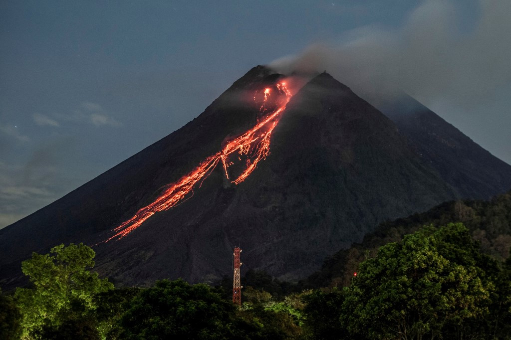
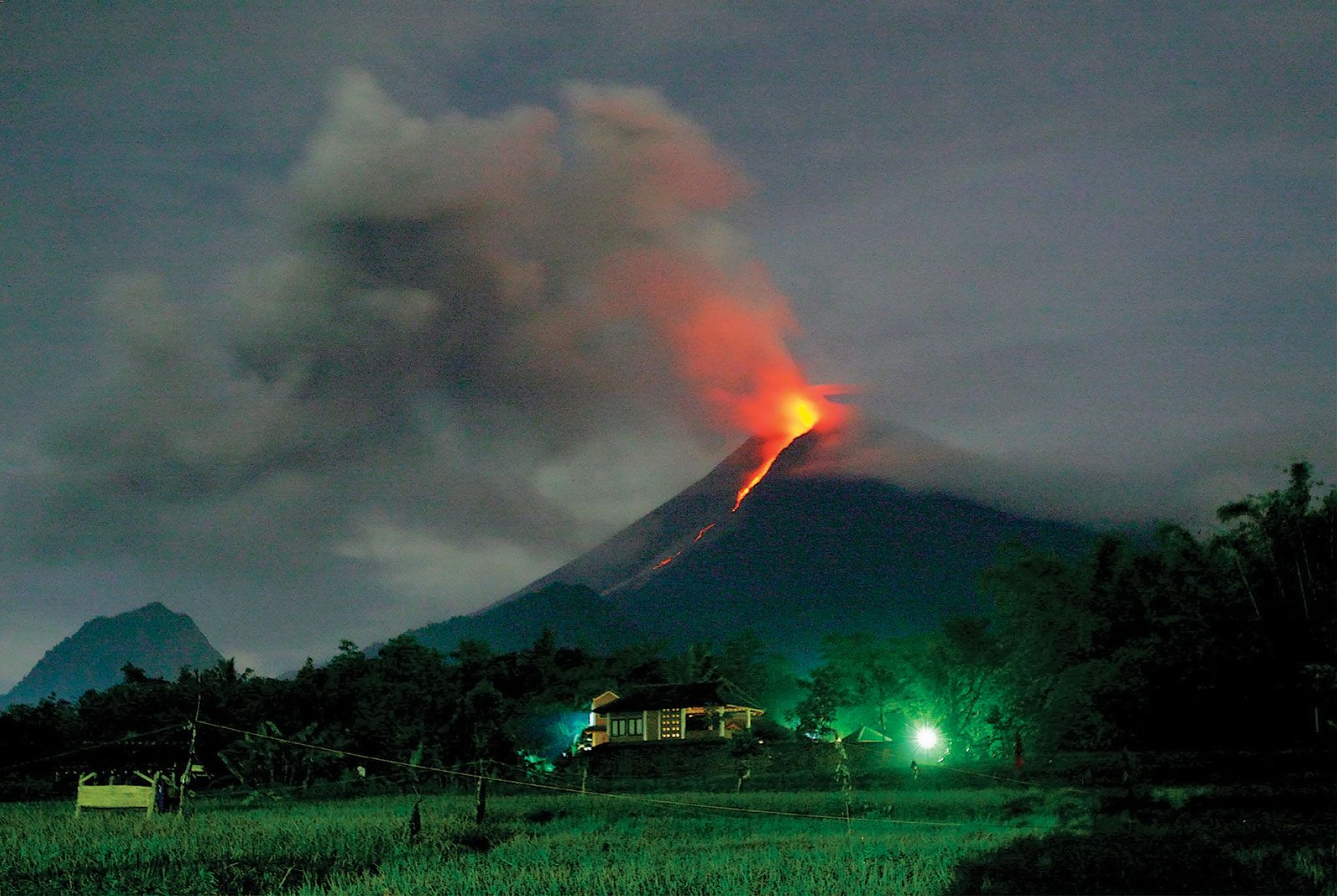
Mount Merapi, located on the border of Yogyakarta and Central Java, Indonesia, is one of the most active and dangerous volcanoes in the world. Its name, translating to “Mountain of Fire,” is a fitting description of its relentless activity. The 2010 eruption of Mount Merapi is particularly notable for its severity and impact.
In late October 2010, Mount Merapi began an eruptive phase that would become its largest in over a century. The eruption was characterized by explosive events and pyroclastic flows—fast-moving hot gases and volcanic material that swept down the slopes at speeds exceeding 100 kilometers per hour. These flows devastated villages, farmlands, and forests in their path, leading to a significant humanitarian crisis.
The immediate response involved the evacuation of over 350,000 people from the surrounding areas, a massive operation given the densely populated regions around the volcano. Despite these efforts, the eruption resulted in over 350 fatalities, with many more injured or suffering from respiratory issues due to the ash. Thousands of homes were destroyed, and the region’s agriculture, a vital source of livelihood for many, was severely impacted.
The 2010 Merapi eruption served as a stark reminder of the power of nature and the importance of disaster preparedness and response. It highlighted the challenges of living in close proximity to a highly active volcano and the need for ongoing research, monitoring, and community education to mitigate future risks.